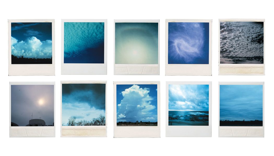
The Whalebone Department of Atmospheric, Geophysical, and Astronomical Services, a sub-division of The Whalebone Weather Bureau is proud to present a primer on cloud classification with some help from NOAA and our intern Will.
Just some nice pictures of clouds really.
High Atmosphere

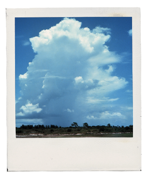
Cumulonimbus:
If you see these, might wanna look for that umbrella: they’re gonna have some rain in them pretty regularly. We’re just trying to help here.

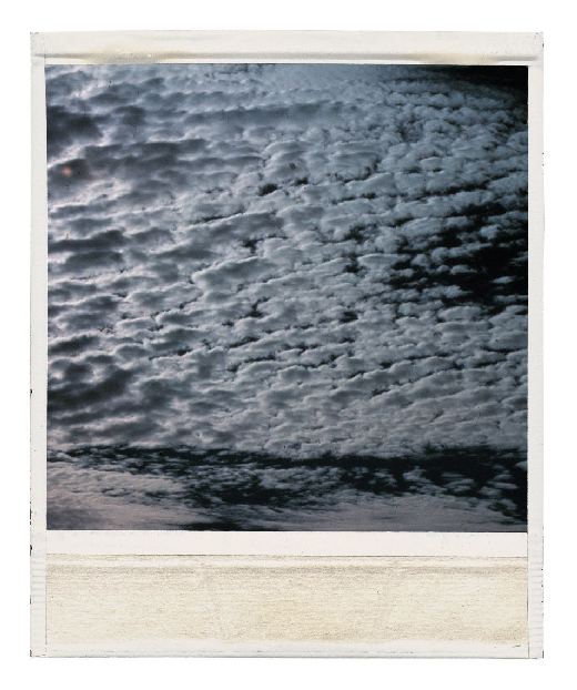
Cirrocumulus:
Like little marshmallows in the sky. Pretty pleasant to look at if you ask us. Normally way high up there. 16,000-45,000 feet to be exact.
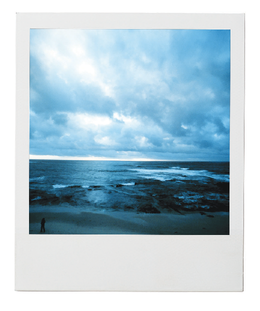
Cirrostratus:
Wispy, uniform clouds in the high atmosphere. You’re gonna see these when it’s getting warmer out, so they mean good times.
Cirrus:
Wispy, hair-like clouds. These sure make every sunset look pretty. Especially at the Montauket.
Mid Atmosphere
Altocumulus:
Like the cirrocumulus clouds, but lower. Often a warning for a storm on the way, so might want to take a close look at these.

Altostratus:
You’ll see these on hazy days. When Al Roker mentions an overcast day, this is the cloud type responsible for that.
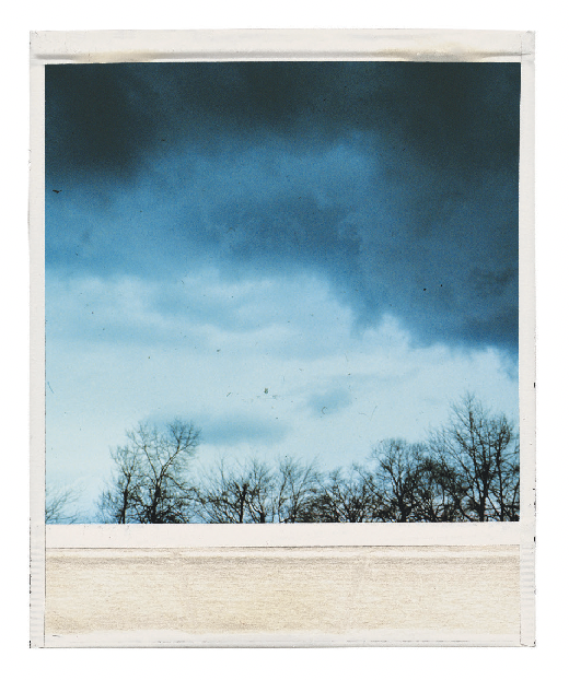
Nimbostratus:
Most likely will have rain (without lightning though, so silver lining).
Low Atmosphere
Cumulus:
Kind of like giant cotton balls in the sky. No precipitation comes from these either, so these just are decorative clouds. Happy little clouds. Bob Ross loves ’em.
Stratocumulus:
Just like cumulus clouds, but more bunched together. They appear quite low in the atmosphere (below 7,000 ft) and are pretty dark. Rain isn’t common from these, so leave the umbrella at home.
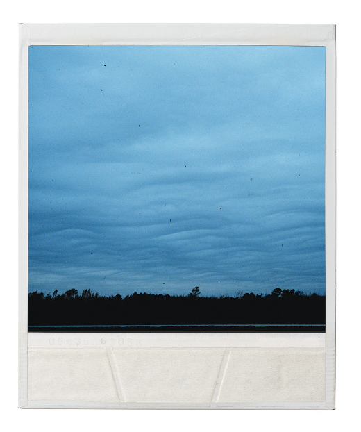
Stratus:
Like a blanket of clouds in the ultra-low atmosphere. Normally appears after the morning fog lifts. Also a kind of Dodge.